:::
Keelung Amore!
![2023國際移民論壇in KEELUNG]()
![基隆市水環境改善計畫]()
![隆來拍電影]()
![魅力基隆facebbok]()
![最新債務訊息]()
![公益彩券盈餘運用]()
![民間團體補助]()
![議員地方建設]()
![防制人口販運專區]()
News訊息快報
- 近來有民眾詢問,其所有車輛原已申請身障者免徵使用牌照稅,最近換車,需不需要重新辦理免稅手續? 基隆市稅務局
- 活力童心,暖心守護!小象幼兒園參訪暖暖消防隊,學習防震防溺知識! 基隆市消防局災害管理科
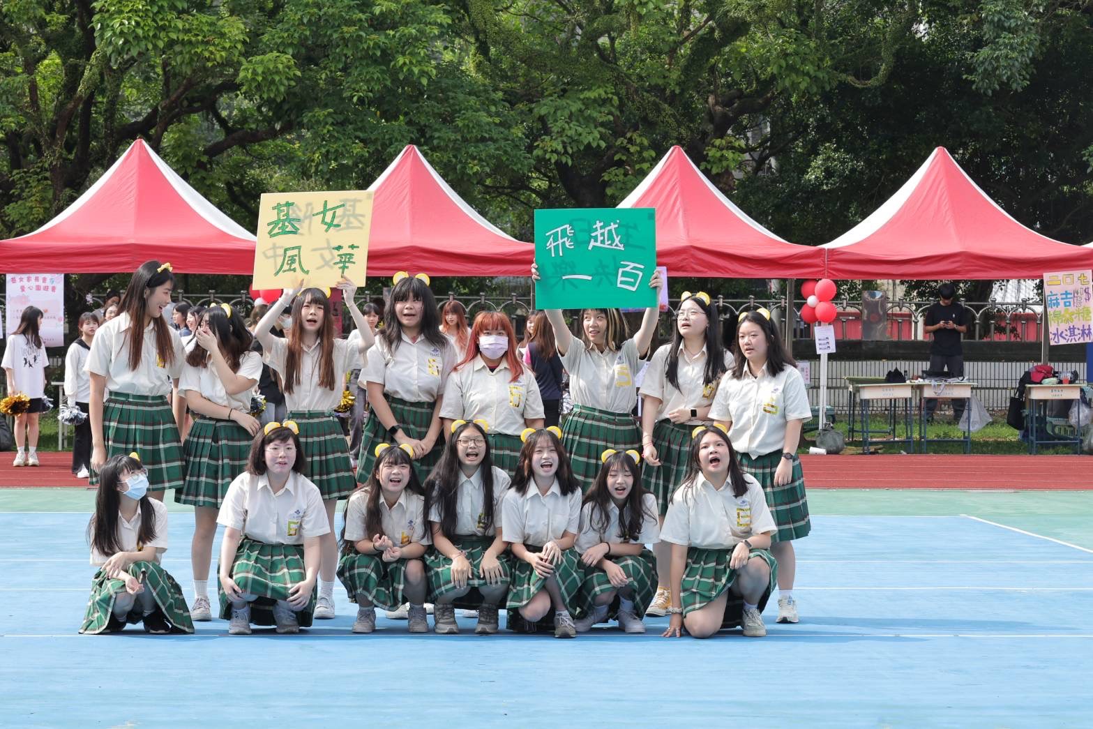
- 出席中山高中62週年校慶 謝國樑:將為高中生規劃更多國際課程 基隆市政府觀光及城市行銷處新聞科
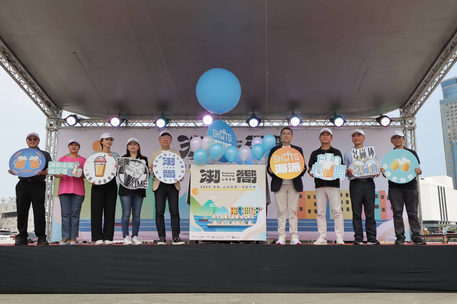
- 潮嚮山海基隆- K STAR 基隆之星徵選活動 基隆市政府產業發展處青年及綜合規劃科
- 「基隆市信二立體停車場整建、營運移轉(ROT)案」第二次公聽會 基隆市政府交通處停車管理科
- 113年4月Keelung金齡歡唱列車「海洋音樂會」開唱囉!! 基隆市政府社會處老人福利科
- 基隆嶼登山步道暫停開放 基隆市政府觀光及城市行銷處觀光發展科
- 113年基隆嶼登島資訊 基隆市政府觀光及城市行銷處觀光發展科
- 基隆市113年度里鄰守望相助監視器暨感應式燈具補助作業計畫 基隆市政府民政處自治行政科
- 安心亞擔任城市代言人的狀況澄清 基隆市政府觀光及城市行銷處新聞科
- 電動車新政詢問度高 整理以下三要點 基隆市政府觀光及城市行銷處新聞科
- 網傳「社工斷炊3個月」一事,實為網路誤傳的一場大烏龍 基隆市政府觀光及城市行銷處新聞科


裝飾用區塊
市民服務
-
原住民人力資源 / 新住民培力發展資訊網 / 托育服務 / 基隆市輔具資源中心
-
基隆市災害防救深耕計畫 / 基隆市防災害應變中心 / 災害示警公開資料 / 防災教育館


Keelung Amore!
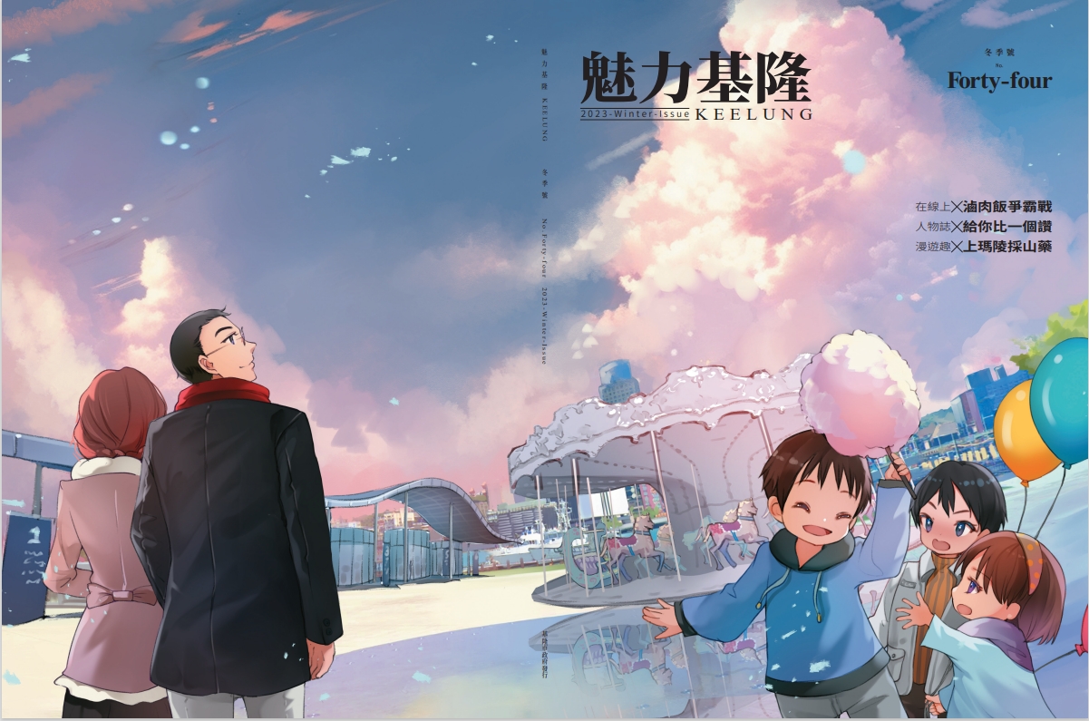
Quarterly魅力基隆